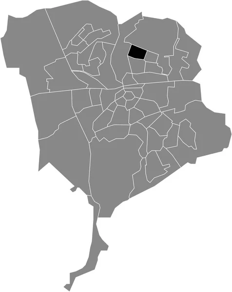
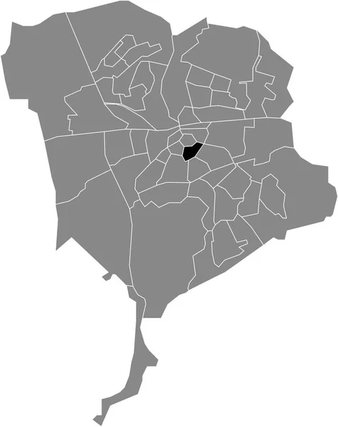
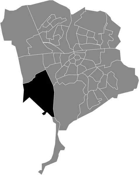
Black Flat Blank Highlighted Location Map Doornbos Linie Neighborhood Gray — Stock Vector

Black flat blank highlighted location map of the DOORNBOS-LINIE NEIGHBORHOOD inside gray administrative map of Breda, Hollandia — vektor

Black flat blank highlighted location map of the DOORNBOS-LINIE NEIGHBORHOOD inside gray administrative map of Breda, Hollandia

 — Vektorok momcilo.jovanov szerint

Ugyanaz a sorozat:

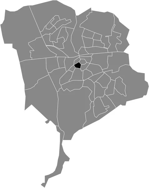
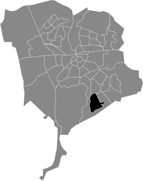
Black flat blank highlighted location map of the WISSELAAR NEIGHBORHOOD inside gray administrative map of Breda, Hollandia
Black Flat Blank Highlighted Location Map Wisselaar Neighborhood Gray Administrative — Stock Vector
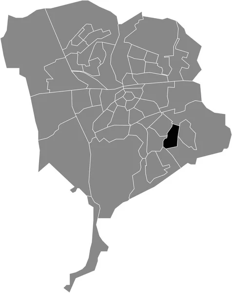
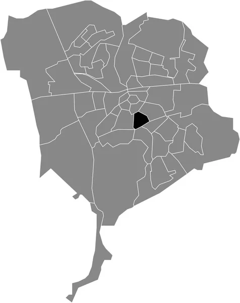
Black flat blank highlighted location map of the FELLENOORD NEIGHBORHOOD inside gray administrative map of Breda, Hollandia
Black Flat Blank Highlighted Location Map Fellenoord Neighborhood Gray Administrative — Stock Vector
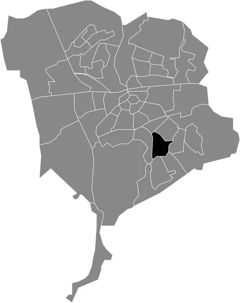
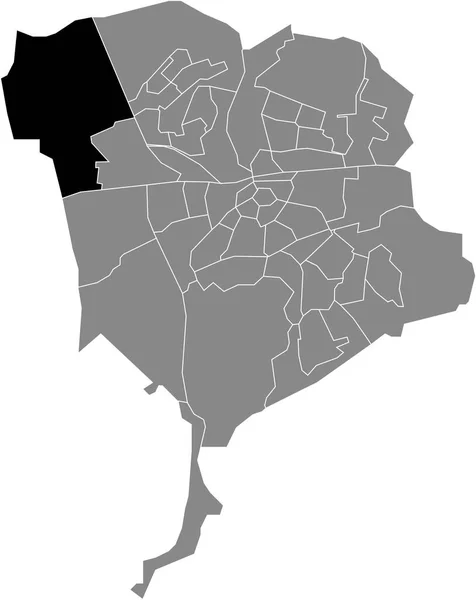
Black flat blank highlighted location map of the NIEUW WOLFSLAAR NEIGHBORHOOD inside gray administrative map of Breda, Hollandia
Black Flat Blank Highlighted Location Map Nieuw Wolfslaar Neighborhood Gray — Stock Vector
Black flat blank highlighted location map of the PRINCENHAGE NEIGHBORHOOD inside gray administrative map of Breda, Hollandia
Black Flat Blank Highlighted Location Map Princenhage Neighborhood Gray Administrative — Stock Vector
Black flat blank highlighted location map of the EMER NEIGHBORHOOD inside gray administrative map of Breda, Hollandia
Black Flat Blank Highlighted Location Map Emer Neighborhood Gray Administrative — Stock Vector
Black flat blank highlighted location map of the OVERAKKER NEIGHBORHOOD inside gray administrative map of Breda, Hollandia
Black Flat Blank Highlighted Location Map Overakker Neighborhood Gray Administrative — Stock Vector
Black flat blank highlighted location map of the CHASSE NEIGHBORHOOD inside gray administrative map of Breda, Hollandia
Black Flat Blank Highlighted Location Map Chasse Neighborhood Gray Administrative — Stock Vector
Black flat blank highlighted location map of the BOEIMEER NEIGHBORHOOD inside gray administrative map of Breda, Hollandia
Black Flat Blank Highlighted Location Map Boeimeer Neighborhood Gray Administrative — Stock Vector
Black flat blank highlighted location map of the ULVENHOUT NEIGHBORHOOD inside gray administrative map of Breda, Hollandia
Black Flat Blank Highlighted Location Map Ulvenhout Neighborhood Gray Administrative — Stock Vector
Black flat blank highlighted location map of the ZANDBERG NEIGHBORHOOD inside gray administrative map of Breda, Hollandia
Black Flat Blank Highlighted Location Map Zandberg Neighborhood Gray Administrative — Stock Vector
Black flat blank highlighted location map of the IJPELAAR NEIGHBORHOOD inside gray administrative map of Breda, Hollandia
Black Flat Blank Highlighted Location Map Ijpelaar Neighborhood Gray Administrative — Stock Vector
Black flat blank highlighted location map of the VERSPREIDE HUIZEN PRINSENBEEK NEIGHBORHOOD inside gray administrative map of Breda, Netherlands
Black Flat Blank Highlighted Location Map Verspreide Huizen Prinsenbeek Neighborhood — Stock Vector
Black flat blank highlighted location map of the GEEREN-NOORD NEIGHBORHOOD inside gray administrative map of Breda, Hollandia
Black Flat Blank Highlighted Location Map Geeren Noord Neighborhood Gray — Stock Vector
Black flat blank highlighted location map of the VERSPREIDE HUIZEN TETERINGEN NEIGHBORHOOD inside gray administrative map of Breda, Netherlands
Black Flat Blank Highlighted Location Map Verspreide Huizen Teteringen Neighborhood — Stock Vector
Black flat blank highlighted location map of the DE KROETEN NEIGHBORHOOD inside gray administrative map of Breda, Hollandia
Black Flat Blank Highlighted Location Map Kroeten Neighborhood Gray Administrative — Stock Vector
Black flat blank highlighted location map of the EFFEN-RITH NEIGHBORHOOD inside gray administrative map of Breda, Hollandia
Black Flat Blank Highlighted Location Map Effen Rith Neighborhood Gray — Stock Vector

Felhasználási információk

A "Black flat blank highlighted location map of the DOORNBOS-LINIE NEIGHBORHOOD inside gray administrative map of Breda, Hollandia" jogdíjmentes vektorképet használhatja személyes és kereskedelmi célokra a Standard vagy Bővített licenc szerint. A Standard licenc a legtöbb felhasználási esetet lefedi, beleértve a reklámozást, a felhasználói felület kialakítását és a termékcsomagolást, és akár 500 000 nyomtatott példányt is lehetővé tesz. A Bővített licenc minden felhasználási esetet engedélyez a Standard licenc alatt, korlátlan nyomtatási joggal, és lehetővé teszi a letöltött vektorfájlok árucikkekhez, termékértékesítéshez vagy ingyenes terjesztéshez való felhasználását.

Ez a stock vektorkép bármilyen méretre méretezhető. Megvásárolhatja és letöltheti nagy felbontásban akár 4379x5510 hüvelykben. Feltöltés Dátuma: 2022. febr. 2.