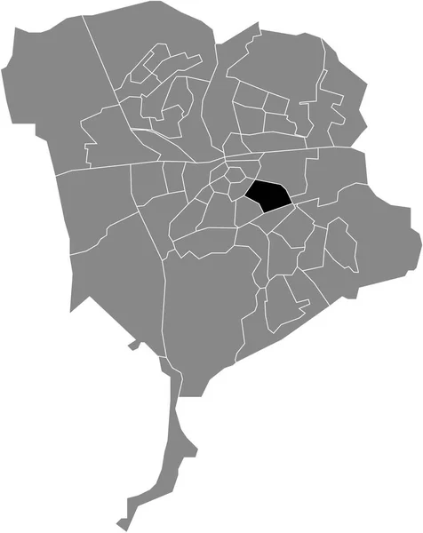
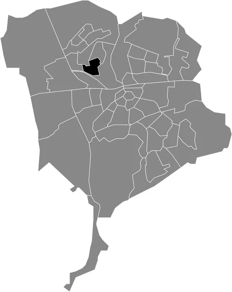
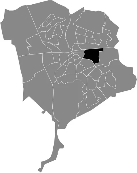
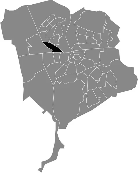
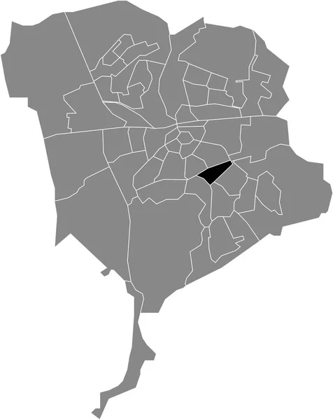
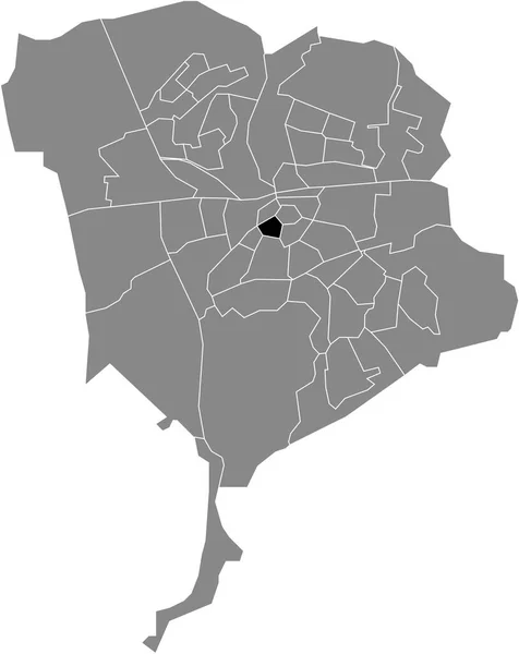
Black Flat Blank Highlighted Location Map Verspreide Huizen Teteringen Neighborhood — Stock Vector

Black flat blank highlighted location map of the VERSPREIDE HUIZEN TETERINGEN NEIGHBORHOOD inside gray administrative map of Breda, Netherlands — vektor

Black flat blank highlighted location map of the VERSPREIDE HUIZEN TETERINGEN NEIGHBORHOOD inside gray administrative map of Breda, Netherlands

 — Vektorok momcilo.jovanov szerint

Ugyanaz a sorozat:

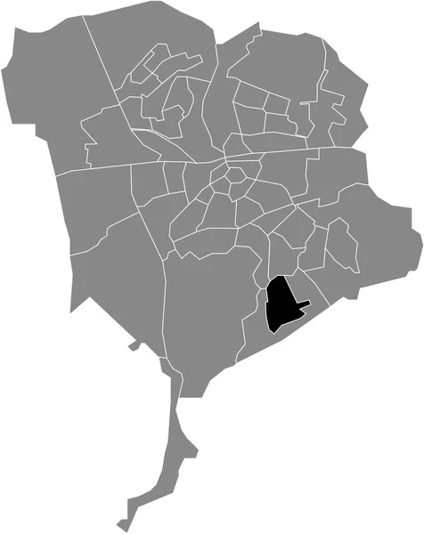
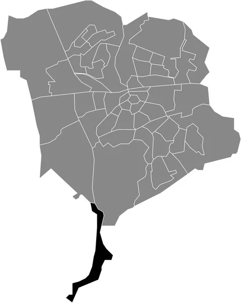
Black flat blank highlighted location map of the SPORTPARK NEIGHBORHOOD inside gray administrative map of Breda, Hollandia
Black Flat Blank Highlighted Location Map Sportpark Neighborhood Gray Administrative — Stock Vector
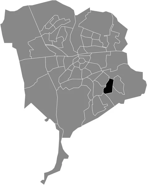
Black flat blank highlighted location map of the TETERINGEN NEIGHBORHOOD inside gray administrative map of Breda, Hollandia
Black Flat Blank Highlighted Location Map Teteringen Neighborhood Gray Administrative — Stock Vector
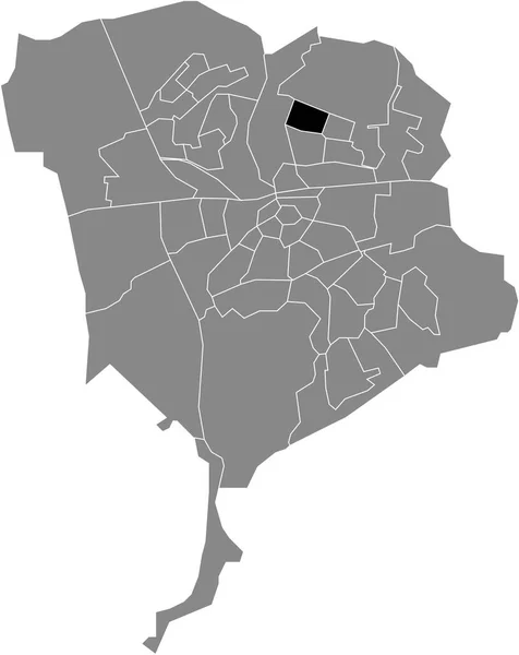
Black flat blank highlighted location map of the GAGELDONK NEIGHBORHOOD inside gray administrative map of Breda, Hollandia
Black Flat Blank Highlighted Location Map Gageldonk Neighborhood Gray Administrative — Stock Vector
Black flat blank highlighted location map of the BRABANTPARK NEIGHBORHOOD inside gray administrative map of Breda, Hollandia
Black Flat Blank Highlighted Location Map Brabantpark Neighborhood Gray Administrative — Stock Vector
Black flat blank highlighted location map of the WESTERPARK NEIGHBORHOOD inside gray administrative map of Breda, Hollandia
Black Flat Blank Highlighted Location Map Westerpark Neighborhood Gray Administrative — Stock Vector
Black flat blank highlighted location map of the KIEVITSLOOP NEIGHBORHOOD inside gray administrative map of Breda, Hollandia
Black Flat Blank Highlighted Location Map Kievitsloop Neighborhood Gray Administrative — Stock Vector
Black flat blank highlighted location map of the STEENAKKER NEIGHBORHOOD inside gray administrative map of Breda, Hollandia
Black Flat Blank Highlighted Location Map Steenakker Neighborhood Gray Administrative — Stock Vector
Black flat blank highlighted location map of the BLAUWE KEI NEIGHBORHOOD inside gray administrative map of Breda, Hollandia
Black Flat Blank Highlighted Location Map Blauwe Kei Neighborhood Gray — Stock Vector
Black flat blank highlighted location map of the STATION NEIGHBORHOOD inside gray administrative map of Breda, Hollandia
Black Flat Blank Highlighted Location Map Station Neighborhood Gray Administrative — Stock Vector
Black flat blank highlighted location map of the ULVENHOUT NEIGHBORHOOD inside gray administrative map of Breda, Hollandia
Black Flat Blank Highlighted Location Map Ulvenhout Neighborhood Gray Administrative — Stock Vector
Black flat blank highlighted location map of the NIEUW WOLFSLAAR NEIGHBORHOOD inside gray administrative map of Breda, Hollandia
Black Flat Blank Highlighted Location Map Nieuw Wolfslaar Neighborhood Gray — Stock Vector
Black flat blank highlighted location map of the WISSELAAR NEIGHBORHOOD inside gray administrative map of Breda, Hollandia
Black Flat Blank Highlighted Location Map Wisselaar Neighborhood Gray Administrative — Stock Vector
Black flat blank highlighted location map of the BOEIMEER NEIGHBORHOOD inside gray administrative map of Breda, Hollandia
Black Flat Blank Highlighted Location Map Boeimeer Neighborhood Gray Administrative — Stock Vector
Black flat blank highlighted location map of the LIES NEIGHBORHOOD inside gray administrative map of Breda, Hollandia
Black Flat Blank Highlighted Location Map Lies Neighborhood Gray Administrative — Stock Vector
Black flat blank highlighted location map of the FELLENOORD NEIGHBORHOOD inside gray administrative map of Breda, Hollandia
Black Flat Blank Highlighted Location Map Fellenoord Neighborhood Gray Administrative — Stock Vector
Black flat blank highlighted location map of the HAZELDONK NEIGHBORHOOD inside gray administrative map of Breda, Hollandia
Black Flat Blank Highlighted Location Map Hazeldonk Neighborhood Gray Administrative — Stock Vector

Felhasználási információk

A "Black flat blank highlighted location map of the VERSPREIDE HUIZEN TETERINGEN NEIGHBORHOOD inside gray administrative map of Breda, Netherlands" jogdíjmentes vektorképet használhatja személyes és kereskedelmi célokra a Standard vagy Bővített licenc szerint. A Standard licenc a legtöbb felhasználási esetet lefedi, beleértve a reklámozást, a felhasználói felület kialakítását és a termékcsomagolást, és akár 500 000 nyomtatott példányt is lehetővé tesz. A Bővített licenc minden felhasználási esetet engedélyez a Standard licenc alatt, korlátlan nyomtatási joggal, és lehetővé teszi a letöltött vektorfájlok árucikkekhez, termékértékesítéshez vagy ingyenes terjesztéshez való felhasználását.

Ez a stock vektorkép bármilyen méretre méretezhető. Megvásárolhatja és letöltheti nagy felbontásban akár 4379x5510 hüvelykben. Feltöltés Dátuma: 2022. febr. 2.