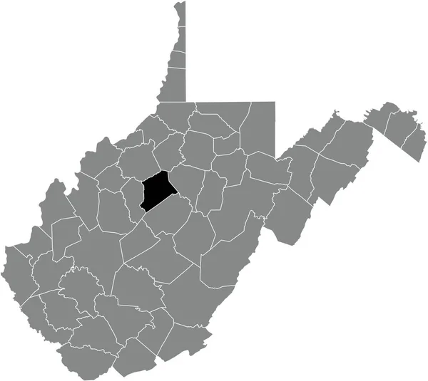
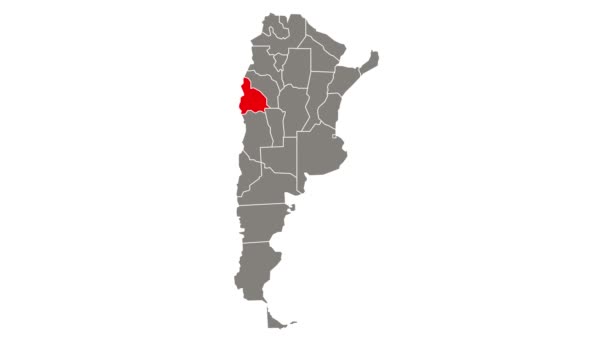
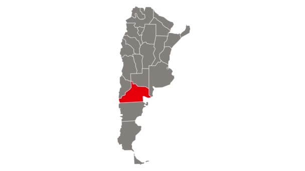
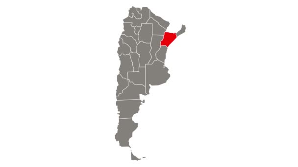
Black Highlighted Location Map Monongalia County Gray Administrative Map Federal — Stock Vector

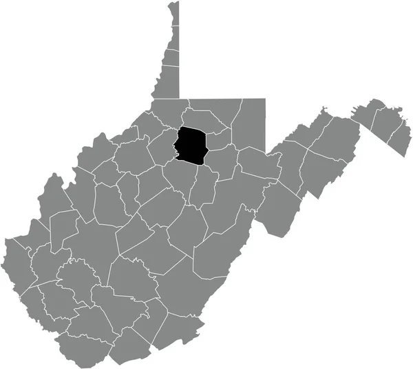
Black highlighted location map of the Monongalia County inside gray administrative map of the Federal State of West Virginia, USA — vektor

Black highlighted location map of the Monongalia County inside gray administrative map of the Federal State of West Virginia, USA

 — Vektorok momcilo.jovanov szerint

Ugyanaz a sorozat:

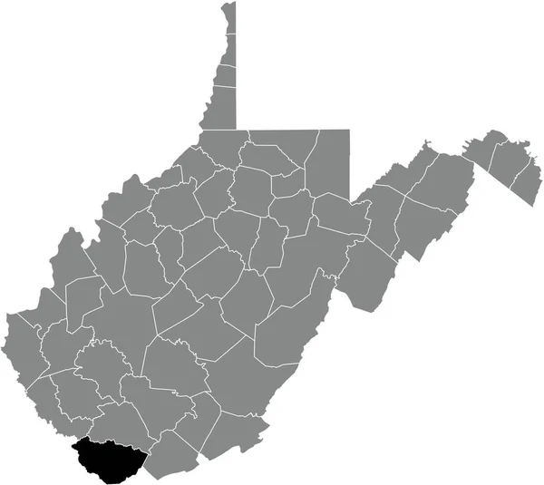
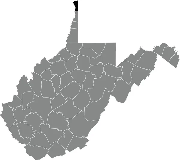
Black highlighted location map of the McDowell County inside gray administrative map of the Federal State of West Virginia, USA
Black Highlighted Location Map Mcdowell County Gray Administrative Map Federal — Stock Vector
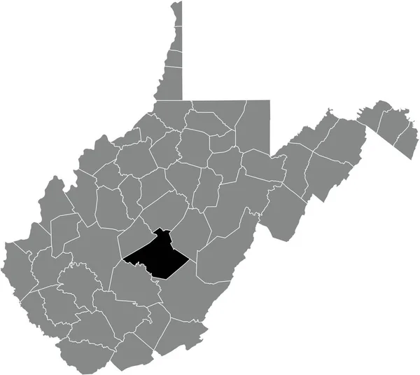
Black highlighted location map of the Nicholas County inside gray administrative map of the Federal State of West Virginia, USA
Black Highlighted Location Map Nicholas County Gray Administrative Map Federal — Stock Vector
Black highlighted location map of the Harrison County inside gray administrative map of the Federal State of West Virginia, USA
Black Highlighted Location Map Harrison County Gray Administrative Map Federal — Stock Vector
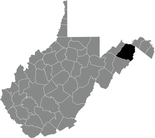
Black highlighted location map of the Randolph County inside gray administrative map of the Federal State of West Virginia, USA
Black Highlighted Location Map Randolph County Gray Administrative Map Federal — Stock Vector
Black highlighted location map of the Fayette County inside gray administrative map of the Federal State of West Virginia, USA
Black Highlighted Location Map Fayette County Gray Administrative Map Federal — Stock Vector
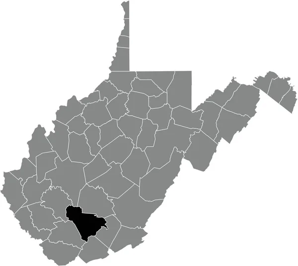
Black highlighted location map of the Raleigh County inside gray administrative map of the Federal State of West Virginia, USA
Black Highlighted Location Map Raleigh County Gray Administrative Map Federal — Stock Vector
Black highlighted location map of the Mingo County inside gray administrative map of the Federal State of West Virginia, USA
Black Highlighted Location Map Mingo County Gray Administrative Map Federal — Stock Vector
Black highlighted location map of the Gilmer County inside gray administrative map of the Federal State of West Virginia, USA
Black Highlighted Location Map Gilmer County Gray Administrative Map Federal — Stock Vector
Black highlighted location map of the Kanawha County inside gray administrative map of the Federal State of West Virginia, USA
Black Highlighted Location Map Kanawha County Gray Administrative Map Federal — Stock Vector
Black highlighted location map of the Cabell County inside gray administrative map of the Federal State of West Virginia, USA
Black Highlighted Location Map Cabell County Gray Administrative Map Federal — Stock Vector
Black highlighted location map of the Hancock County inside gray administrative map of the Federal State of West Virginia, USA
Black Highlighted Location Map Hancock County Gray Administrative Map Federal — Stock Vector
Black highlighted location map of the Mercer County inside gray administrative map of the Federal State of West Virginia, USA
Black Highlighted Location Map Mercer County Gray Administrative Map Federal — Stock Vector
Black highlighted location map of the Hampshire County inside gray administrative map of the Federal State of West Virginia, USA
Black Highlighted Location Map Hampshire County Gray Administrative Map Federal — Stock Vector
Black highlighted location map of the Clay County inside gray administrative map of the Federal State of West Virginia, USA
Black Highlighted Location Map Clay County Gray Administrative Map Federal — Stock Vector
Black highlighted location map of the Logan County inside gray administrative map of the Federal State of West Virginia, USA
Black Highlighted Location Map Logan County Gray Administrative Map Federal — Stock Vector
Black highlighted location map of the Pocahontas County inside gray administrative map of the Federal State of West Virginia, USA
Black Highlighted Location Map Pocahontas County Gray Administrative Map Federal — Stock Vector

Felhasználási információk

A "Black highlighted location map of the Monongalia County inside gray administrative map of the Federal State of West Virginia, USA" jogdíjmentes vektorképet használhatja személyes és kereskedelmi célokra a Standard vagy Bővített licenc szerint. A Standard licenc a legtöbb felhasználási esetet lefedi, beleértve a reklámozást, a felhasználói felület kialakítását és a termékcsomagolást, és akár 500 000 nyomtatott példányt is lehetővé tesz. A Bővített licenc minden felhasználási esetet engedélyez a Standard licenc alatt, korlátlan nyomtatási joggal, és lehetővé teszi a letöltött vektorfájlok árucikkekhez, termékértékesítéshez vagy ingyenes terjesztéshez való felhasználását.

Ez a stock vektorkép bármilyen méretre méretezhető. Megvásárolhatja és letöltheti nagy felbontásban akár 5207x4647 hüvelykben. Feltöltés Dátuma: 2021. dec. 29.