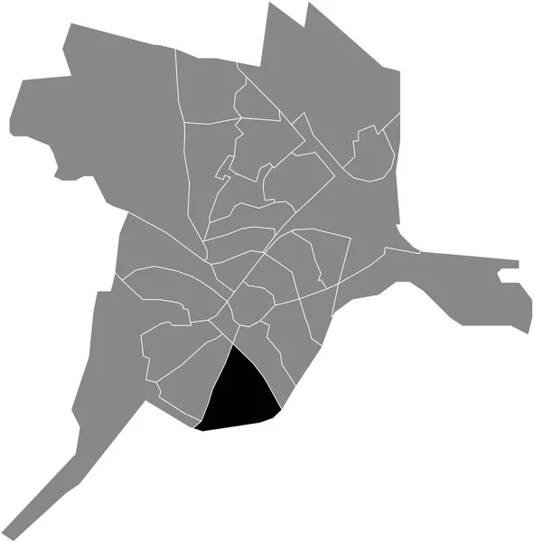
Black Flat Blank Highlighted Location Map Historische Binnenstad District Gray — Stock Vector

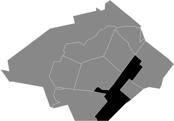
Black flat blank highlighted location map of the HISTORISCHE BINNENSTAD DISTRICT inside gray administrative map of Dordrecht, Hollandia — vektor

Black flat blank highlighted location map of the HISTORISCHE BINNENSTAD DISTRICT inside gray administrative map of Dordrecht, Hollandia

 — Vektorok momcilo.jovanov szerint

Ugyanaz a sorozat:

Black flat blank highlighted location map of the PARK SCHOTHORST DISTRICT inside gray administrative map of Amersfoort, Hollandia
Black Flat Blank Highlighted Location Map Park Schothorst District Gray — Stock Vector
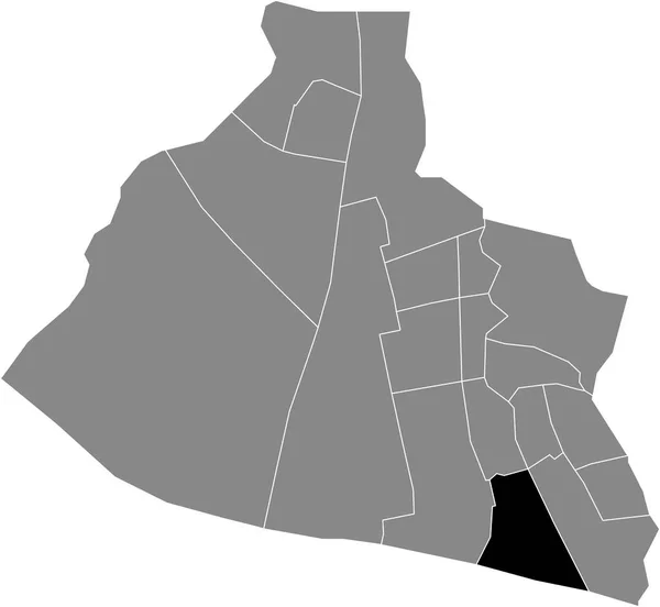
Black flat blank highlighted location map of the KROMMENIE WEST DISTRICT inside gray administrative map of Zaanstad, Hollandia
Black Flat Blank Highlighted Location Map Krommenie West District Gray — Stock Vector
Black flat blank highlighted location map of the INDUSTRIEGEBIED DISTRICT inside gray administrative map of Zoetermeer, Hollandia
Black Flat Blank Highlighted Location Map Industriegebied District Gray Administrative — Stock Vector
Black flat blank highlighted location map of the KATTENBROEK DISTRICT inside gray administrative map of Amersfoort, Hollandia
Black Flat Blank Highlighted Location Map Kattenbroek District Gray Administrative — Stock Vector
Black flat blank highlighted location map of the VECHTLANDEN DISTRICT inside gray administrative map of Zwolle, Hollandia
Black Flat Blank Highlighted Location Map Vechtlanden District Gray Administrative — Stock Vector
Black flat blank highlighted location map of the OUDE HAVEN DISTRICT inside gray administrative map of Zaanstad, Hollandia
Black Flat Blank Highlighted Location Map Oude Haven District Gray — Stock Vector
Black flat blank highlighted location map of the ROKKEVEEN DISTRICT inside gray administrative map of Zoetermeer, Hollandia
Black Flat Blank Highlighted Location Map Rokkeveen District Gray Administrative — Stock Vector
Black flat blank highlighted location map of the CALVEEN DISTRICT inside gray administrative map of Amersfoort, Hollandia
Black Flat Blank Highlighted Location Map Calveen District Gray Administrative — Stock Vector
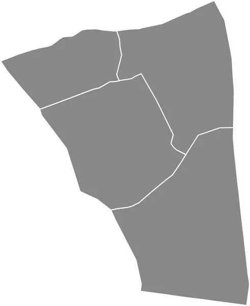
Gray flat blank vector administrative map of the 20TH ARONDISSEMENT (DE MNILMONTANT), PARIS, FRANCE with black border lines of its quarters
Gray Flat Blank Vector Administrative Map 20Th Arondissement Mnilmontant Paris — Stock Vector
Gray flat blank vector administrative map of the 5TH ARONDISSEMENT (DU PANTHON), PARIS, FRANCE with black border lines of its quarters
Gray Flat Blank Vector Administrative Map 5Th Arondissement Panthon Paris — Stock Vector
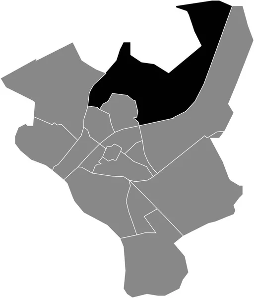
Black flat blank highlighted location map of the MERENWIJKDISTRICT DISTRICT inside gray administrative map of Leiden, Hollandia
Black Flat Blank Highlighted Location Map Merenwijkdistrict District Gray Administrative — Stock Vector
Black flat blank highlighted location map of the LEUSDERKWARTIER DISTRICT inside gray administrative map of Amersfoort, Hollandia
Black Flat Blank Highlighted Location Map Leusderkwartier District Gray Administrative — Stock Vector
Black flat blank highlighted location map of the BUITENGEBIED DISTRICT inside gray administrative map of Zoetermeer, Hollandia
Black Flat Blank Highlighted Location Map Buitengebied District Gray Administrative — Stock Vector
Black flat blank highlighted location map of the CENTRUM DISTRICT inside gray administrative map of Haarlem, Hollandia
Black Flat Blank Highlighted Location Map Centrum District Gray Administrative — Stock Vector
Gray flat blank vector administrative map of the 8TH ARONDISSEMENT (DE L'LYSE), PARIS, FRANCE with black border lines of its quarters
Gray Flat Blank Vector Administrative Map 8Th Arondissement Lyse Paris — Stock Vector
ZOETERMEER, HOLLANDIA szürke lapos, üres vektoros közigazgatási térképe, kerületeinek fekete határvonalaival
Zoetermeer Hollandia Szürke Lapos Üres Vektoros Közigazgatási Térképe Kerületeinek Fekete — Stock Vector

Felhasználási információk

A "Black flat blank highlighted location map of the HISTORISCHE BINNENSTAD DISTRICT inside gray administrative map of Dordrecht, Hollandia" jogdíjmentes vektorképet használhatja személyes és kereskedelmi célokra a Standard vagy Bővített licenc szerint. A Standard licenc a legtöbb felhasználási esetet lefedi, beleértve a reklámozást, a felhasználói felület kialakítását és a termékcsomagolást, és akár 500 000 nyomtatott példányt is lehetővé tesz. A Bővített licenc minden felhasználási esetet engedélyez a Standard licenc alatt, korlátlan nyomtatási joggal, és lehetővé teszi a letöltött vektorfájlok árucikkekhez, termékértékesítéshez vagy ingyenes terjesztéshez való felhasználását.

Ez a stock vektorkép bármilyen méretre méretezhető. Megvásárolhatja és letöltheti nagy felbontásban akár 6007x3828 hüvelykben. Feltöltés Dátuma: 2022. márc. 4.