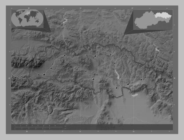
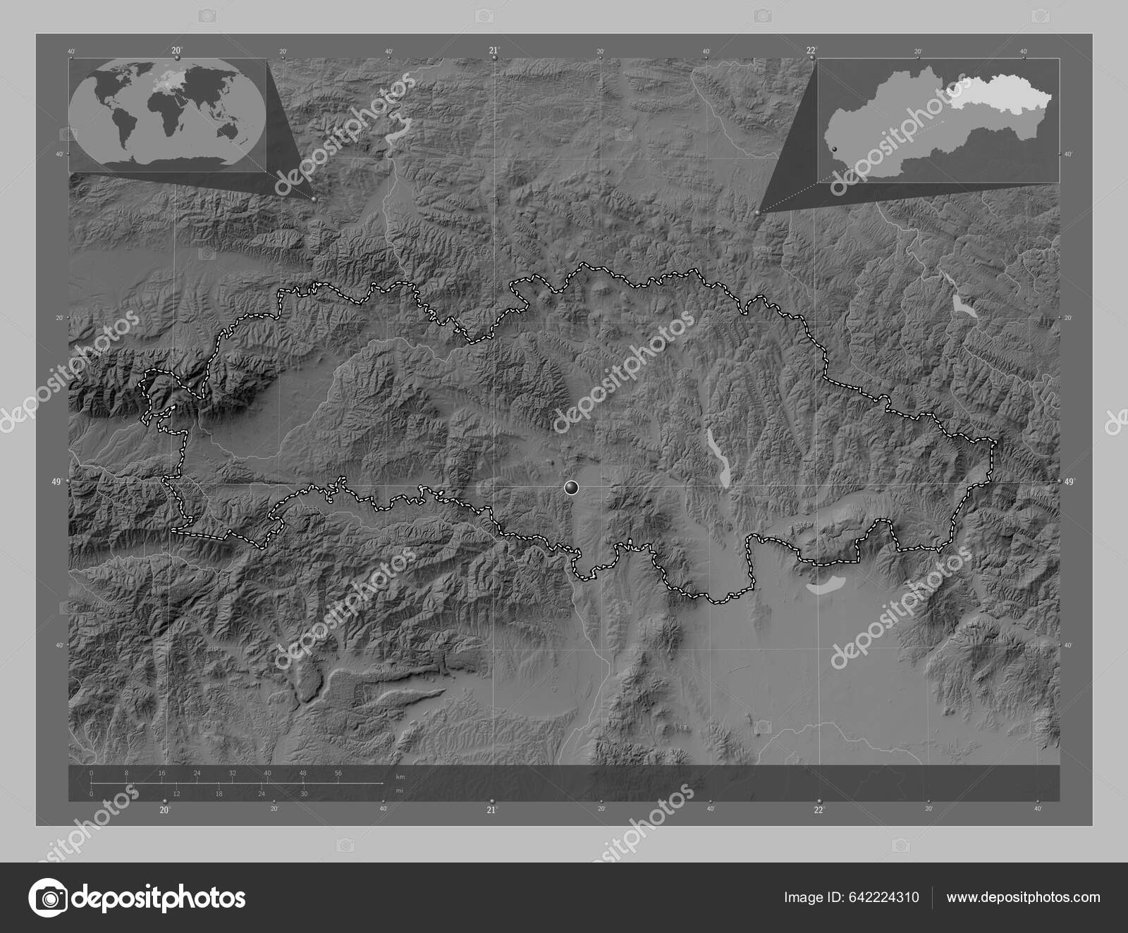
Presovsky Region Slovakia Grayscale Elevation Map Lakes Rivers Corner Auxiliary — Stock Fotó

Presovsky, region of Slovakia. Grayscale elevation map with lakes and rivers. Corner auxiliary location maps — Stock Kép

Presovsky, region of Slovakia. Grayscale elevation map with lakes and rivers. Corner auxiliary location maps

 — Fotó szerzőtől Yarr65

Ugyanaz a sorozat:

Presovsky, region of Slovakia. Grayscale elevation map with lakes and rivers. Locations of major cities of the region. Corner auxiliary location maps
Presovsky Region Slovakia Grayscale Elevation Map Lakes Rivers Locations Major — Stock Fotó
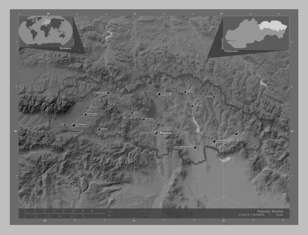
Presovsky, region of Slovakia. Grayscale elevation map with lakes and rivers. Locations and names of major cities of the region. Corner auxiliary location maps
Presovsky Region Slovakia Grayscale Elevation Map Lakes Rivers Locations Names — Stock Fotó
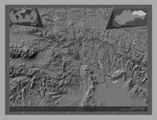
Presovsky, region of Slovakia. Bilevel elevation map with lakes and rivers. Locations and names of major cities of the region. Corner auxiliary location maps
Presovsky Region Slovakia Bilevel Elevation Map Lakes Rivers Locations Names — Stock Fotó
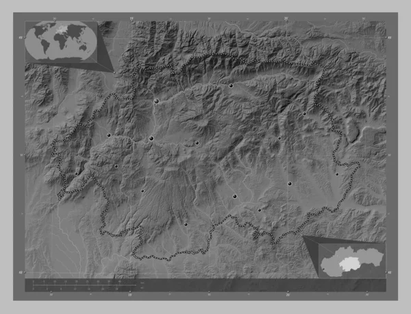
Banskobystricky, region of Slovakia. Grayscale elevation map with lakes and rivers. Locations of major cities of the region. Corner auxiliary location maps
Banskobystricky Region Slovakia Grayscale Elevation Map Lakes Rivers Locations Major — Stock Fotó
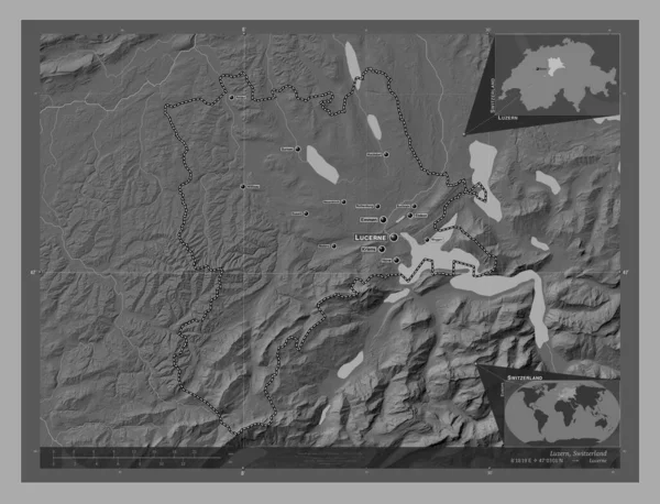
Luzern, canton of Switzerland. Bilevel elevation map with lakes and rivers. Locations and names of major cities of the region. Corner auxiliary location maps
Luzern Canton Switzerland Bilevel Elevation Map Lakes Rivers Locations Names — Stock Fotó
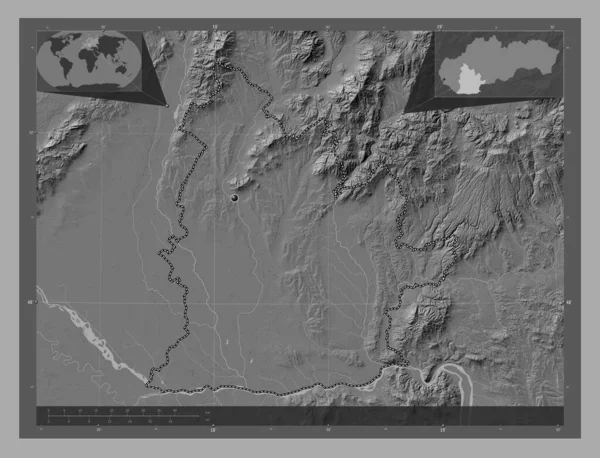
Nitriansky, region of Slovakia. Bilevel elevation map with lakes and rivers. Corner auxiliary location maps
Nitriansky Region Slovakia Bilevel Elevation Map Lakes Rivers Corner Auxiliary — Stock Fotó
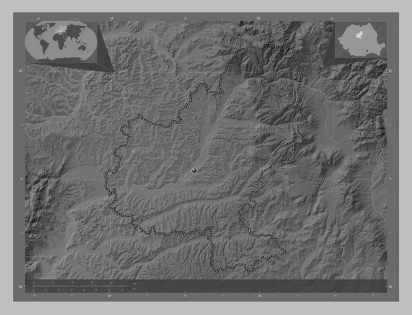
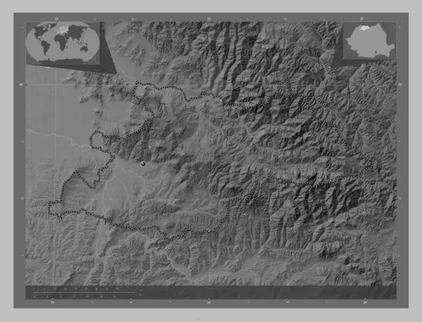
Mures, county of Romania. Grayscale elevation map with lakes and rivers. Corner auxiliary location maps
Mures County Romania Grayscale Elevation Map Lakes Rivers Corner Auxiliary — Stock Fotó
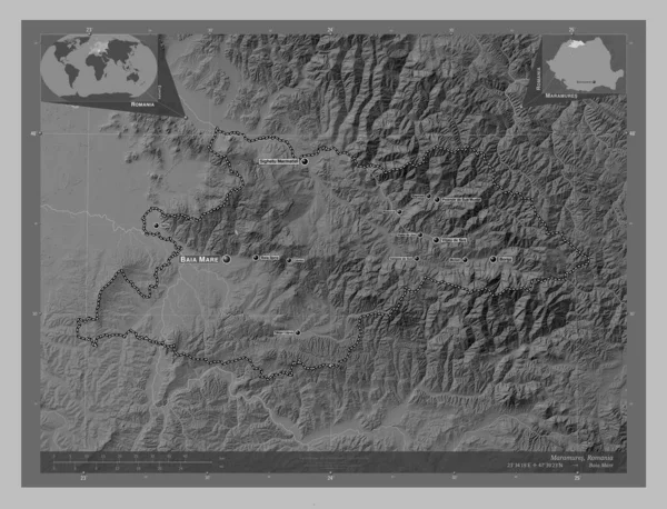
Maramures, county of Romania. Grayscale elevation map with lakes and rivers. Locations and names of major cities of the region. Corner auxiliary location maps
Maramures County Romania Grayscale Elevation Map Lakes Rivers Locations Names — Stock Fotó
Maramures, county of Romania. Grayscale elevation map with lakes and rivers. Corner auxiliary location maps
Maramures County Romania Grayscale Elevation Map Lakes Rivers Corner Auxiliary — Stock Fotó
Neamt, county of Romania. Bilevel elevation map with lakes and rivers. Locations of major cities of the region. Corner auxiliary location maps
Neamt County Romania Bilevel Elevation Map Lakes Rivers Locations Major — Stock Fotó
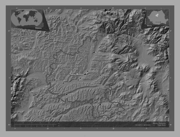
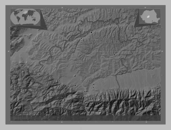
Mures, county of Romania. Bilevel elevation map with lakes and rivers. Locations and names of major cities of the region. Corner auxiliary location maps
Mures County Romania Bilevel Elevation Map Lakes Rivers Locations Names — Stock Fotó
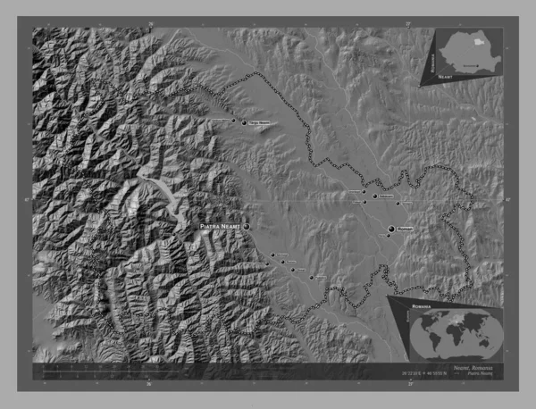
Neamt, county of Romania. Bilevel elevation map with lakes and rivers. Locations and names of major cities of the region. Corner auxiliary location maps
Neamt County Romania Bilevel Elevation Map Lakes Rivers Locations Names — Stock Fotó
Sibiu, county of Romania. Grayscale elevation map with lakes and rivers. Locations of major cities of the region. Corner auxiliary location maps
Sibiu County Romania Grayscale Elevation Map Lakes Rivers Locations Major — Stock Fotó
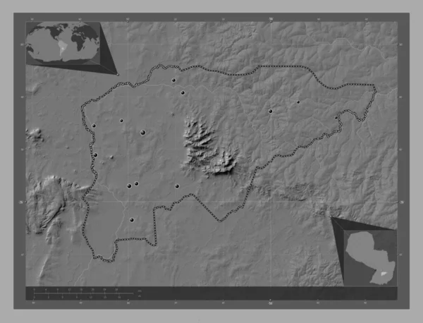
Guaira, department of Paraguay. Bilevel elevation map with lakes and rivers. Locations of major cities of the region. Corner auxiliary location maps
Guaira Department Paraguay Bilevel Elevation Map Lakes Rivers Locations Major — Stock Fotó
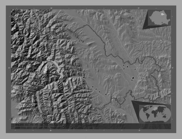
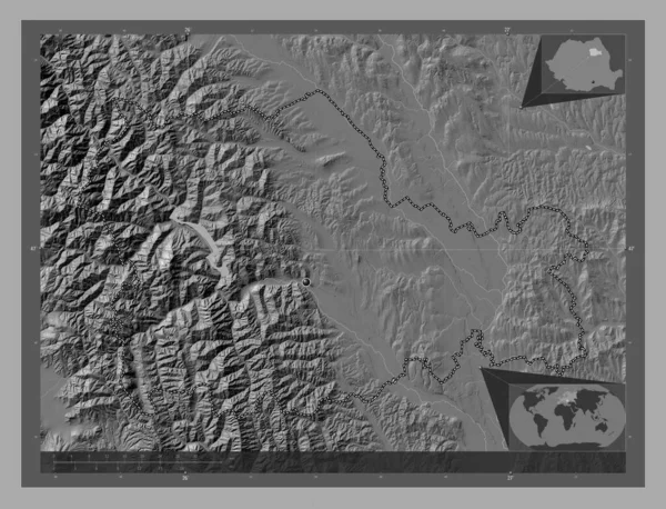
Neamt, county of Romania. Bilevel elevation map with lakes and rivers. Corner auxiliary location maps
Neamt County Romania Bilevel Elevation Map Lakes Rivers Corner Auxiliary — Stock Fotó
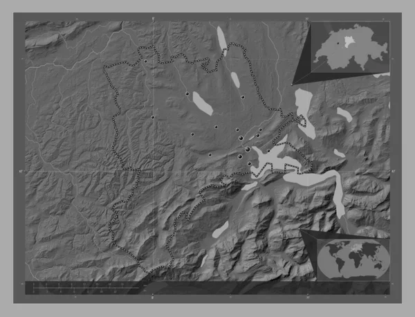
Luzern, canton of Switzerland. Bilevel elevation map with lakes and rivers. Locations of major cities of the region. Corner auxiliary location maps
Luzern Canton Switzerland Bilevel Elevation Map Lakes Rivers Locations Major — Stock Fotó

Felhasználási információk

A jogdíjmentes "Presovsky, region of Slovakia. Grayscale elevation map with lakes and rivers. Corner auxiliary location maps" fotót használhatja személyes és kereskedelmi célokra a Standard vagy Bővített licenc értelmében. A Standard licenc a legtöbb felhasználási esetet lefedi, beleértve a reklámozást, a felhasználói felület kialakítását és a termékcsomagolást, és akár 500 000 példány nyomtatását is lehetővé teszi. A Bővített Licenc minden felhasználási esetet engedélyez a Standard Licenc értelmében, korlátlan nyomtatási joggal, és lehetővé teszi a letöltött stock képek felhasználását árucikkekhez, termék viszonteladáshoz vagy ingyenes terjesztéshez.

Ezt a stock fotót megvásárolhatja és nagy felbontásban letöltheti akár 4930x3770 hüvelykben. Feltöltés Dátuma: 2023. febr. 23.