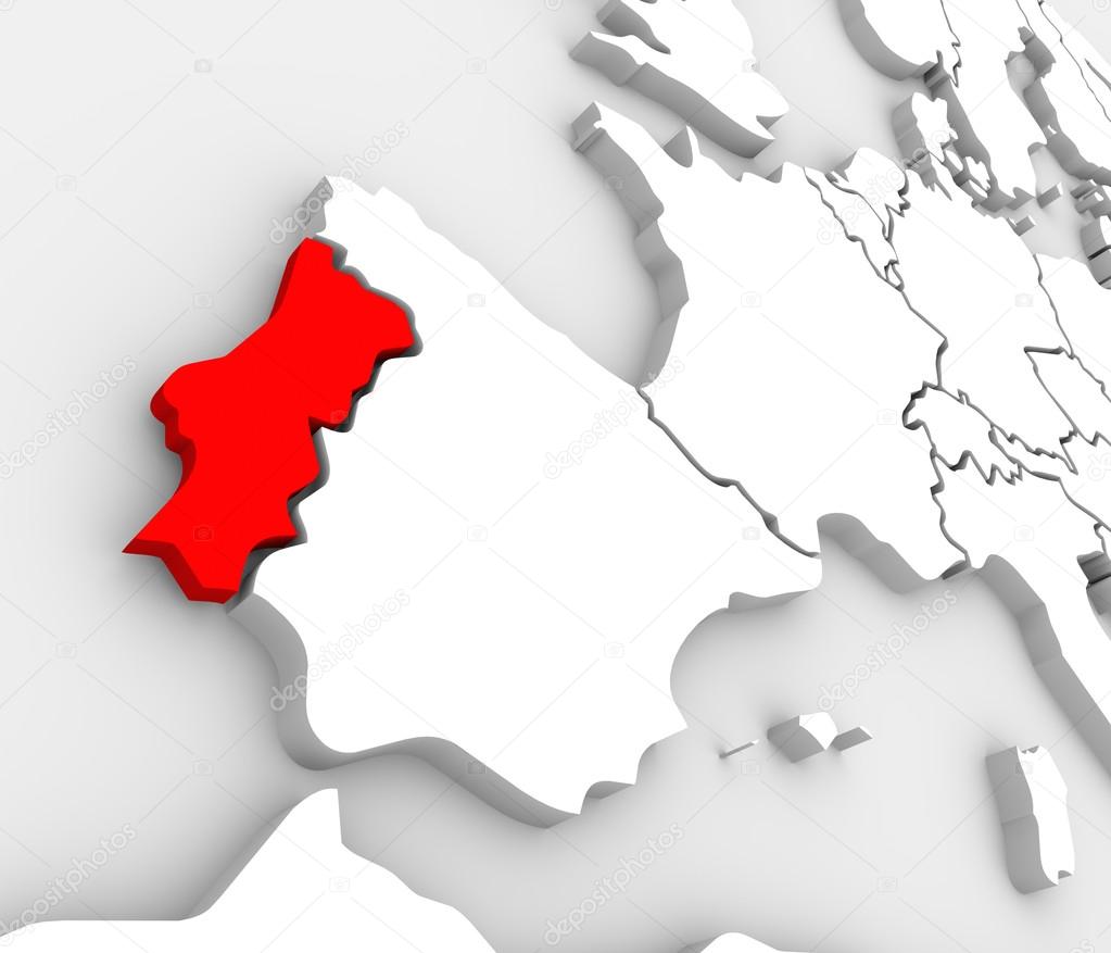
Portugália ország megjelenítése absztrakt 3d Európa atlasz — Stock Kép
L
2000 × 1714JPG6.67 × 5.71" • 300 dpiStandard Licenc
XL
4200 × 3600JPG14.00 × 12.00" • 300 dpiStandard Licenc
super
8400 × 7200JPG28.00 × 24.00" • 300 dpiStandard Licenc
EL
4200 × 3600JPG14.00 × 12.00" • 300 dpiBővített Licenc
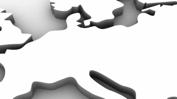
An abstract 3d map of Europe the continent and several countries, with Portugal highlighted in red, surrounded by Spain, France, the United Kingdom, Germany and other European states
— Fotó szerzőtől iqoncept- Szerzőiqoncept

- 23374992
- Hasonló képek keresése
- 4.9
Stock Kép Kulcsszavak:
- nemzeti
- Espana
- regionális
- központi
- óceán
- part
- szocialista
- ban ben
- Állam
- régió
- illusztráció
- Lisszabon
- célzott
- kiemelve
- Egyesült Királyság
- országok
- Háttér
- kontinens
- Közelkép
- Európa
- Spanyolország
- stilizált
- Célpont
- Spanyolország térképe
- ikon
- ClipArt elemek
- Piros
- Nyugati
- fehér
- Térképek
- Egységes
- Szám
- európai
- Földrajz
- Portugál
- ország
- A Tanács
- több
- demokratikus
- Illusztrált
- Atlanti
- körül
- nemzet
- atlasz
- előfizető
- térkép
- TEKINTÉS
- Tagállamok
- Grafikus
- Kivonat
Ugyanaz a sorozat:






Hasonló stock videók:










Felhasználási információk
A jogdíjmentes "Portugália ország megjelenítése absztrakt 3d Európa atlasz" fotót használhatja személyes és kereskedelmi célokra a Standard vagy Bővített licenc értelmében. A Standard licenc a legtöbb felhasználási esetet lefedi, beleértve a reklámozást, a felhasználói felület kialakítását és a termékcsomagolást, és akár 500 000 példány nyomtatását is lehetővé teszi. A Bővített Licenc minden felhasználási esetet engedélyez a Standard Licenc értelmében, korlátlan nyomtatási joggal, és lehetővé teszi a letöltött stock képek felhasználását árucikkekhez, termék viszonteladáshoz vagy ingyenes terjesztéshez.
Ezt a stock fotót megvásárolhatja és nagy felbontásban letöltheti akár 4200x3600 hüvelykben. Feltöltés Dátuma: 2013. ápr. 3.
